
SmartField
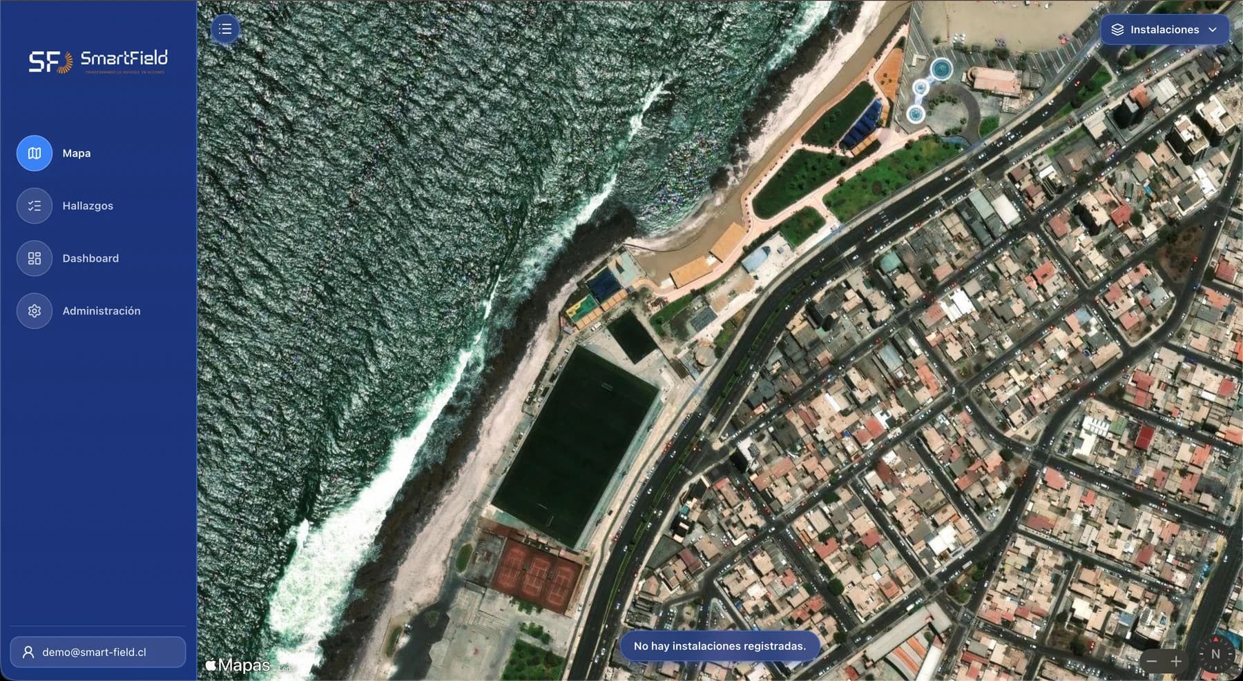
A geospatial platform for the intelligent management of inspections and findings in mining operations.
View platform
Industrial air operations since 2015
Thermal inspection, surveying and cleaning with drones for mining, energy and construction. No scaffolding, no production shutdown.
01Trusted by








02The services
Each service replaces a task that today needs scaffolding, a man basket or a production shutdown. Capture takes hours, and the installation keeps running.
01
Classification and prioritisation of 100% of the anomalies detected
02
Hot-spot thermography by tower and by span
03
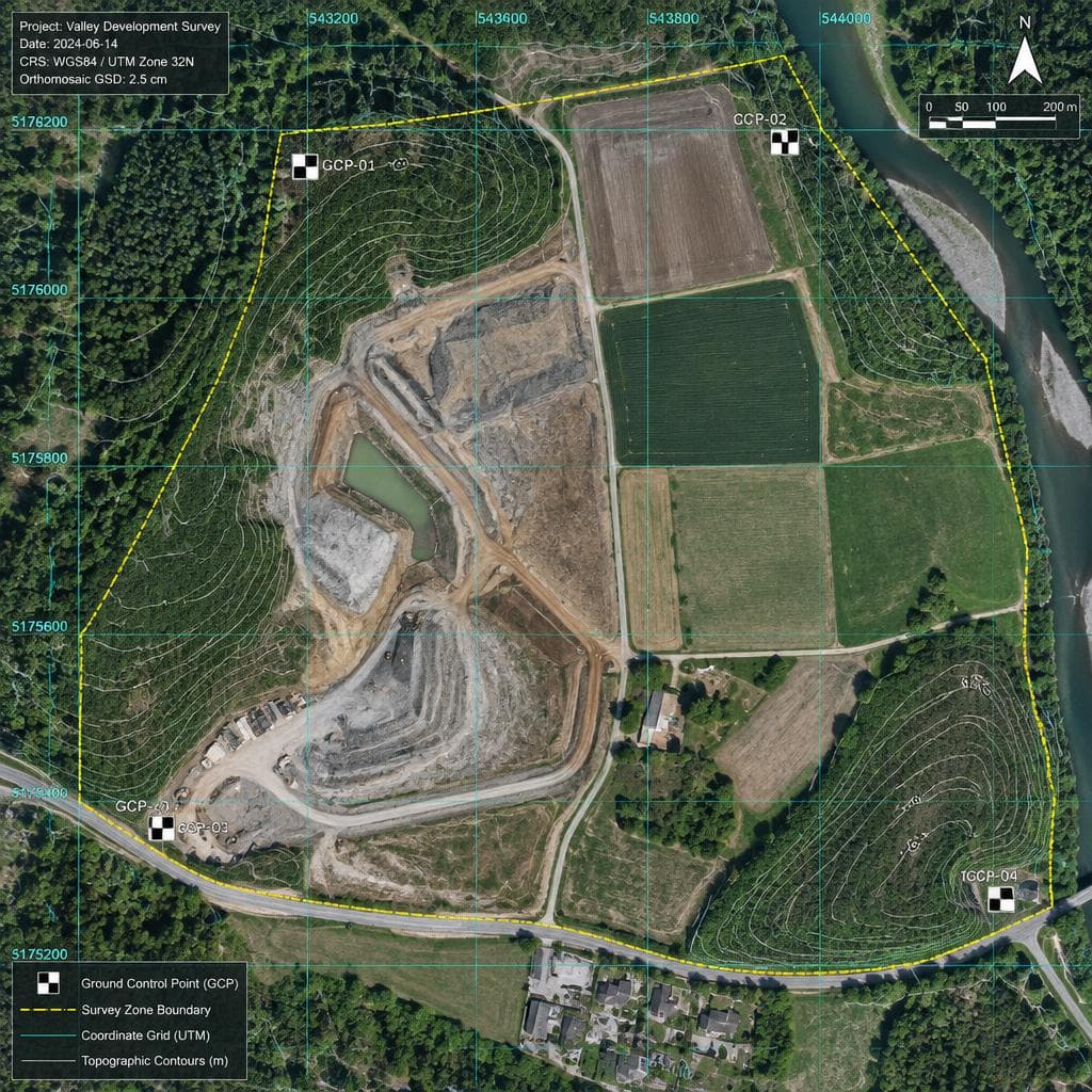
3D model and georeferenced orthomosaic of the surveyed area
04
Operation with no scaffolding, no suspended personnel and no production shutdown
05
Flight in confined spaces and elevated structures
06
Irrigation distribution map across the entire pad
07
Finished corporate video for presentations and internal communications
03From flight to data
Our platforms are the part of the service that remains after the flight: where each finding is placed on the real asset and the maintenance team works on it.
01 / 03
A geospatial platform for the intelligent management of inspections and findings in mining operations.
View platform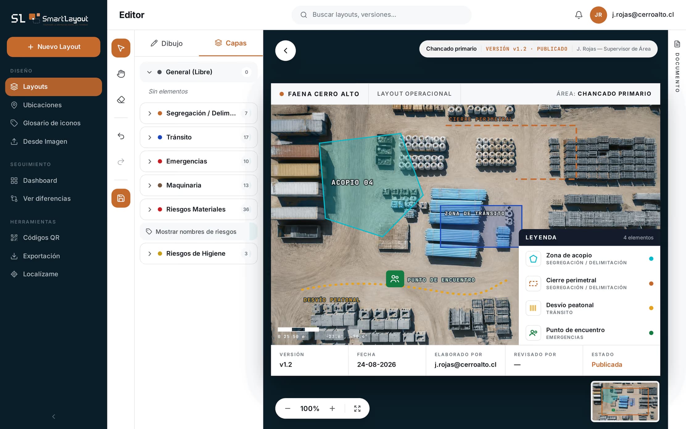
Design, control and publish your site's operational layouts from a single place.
View platform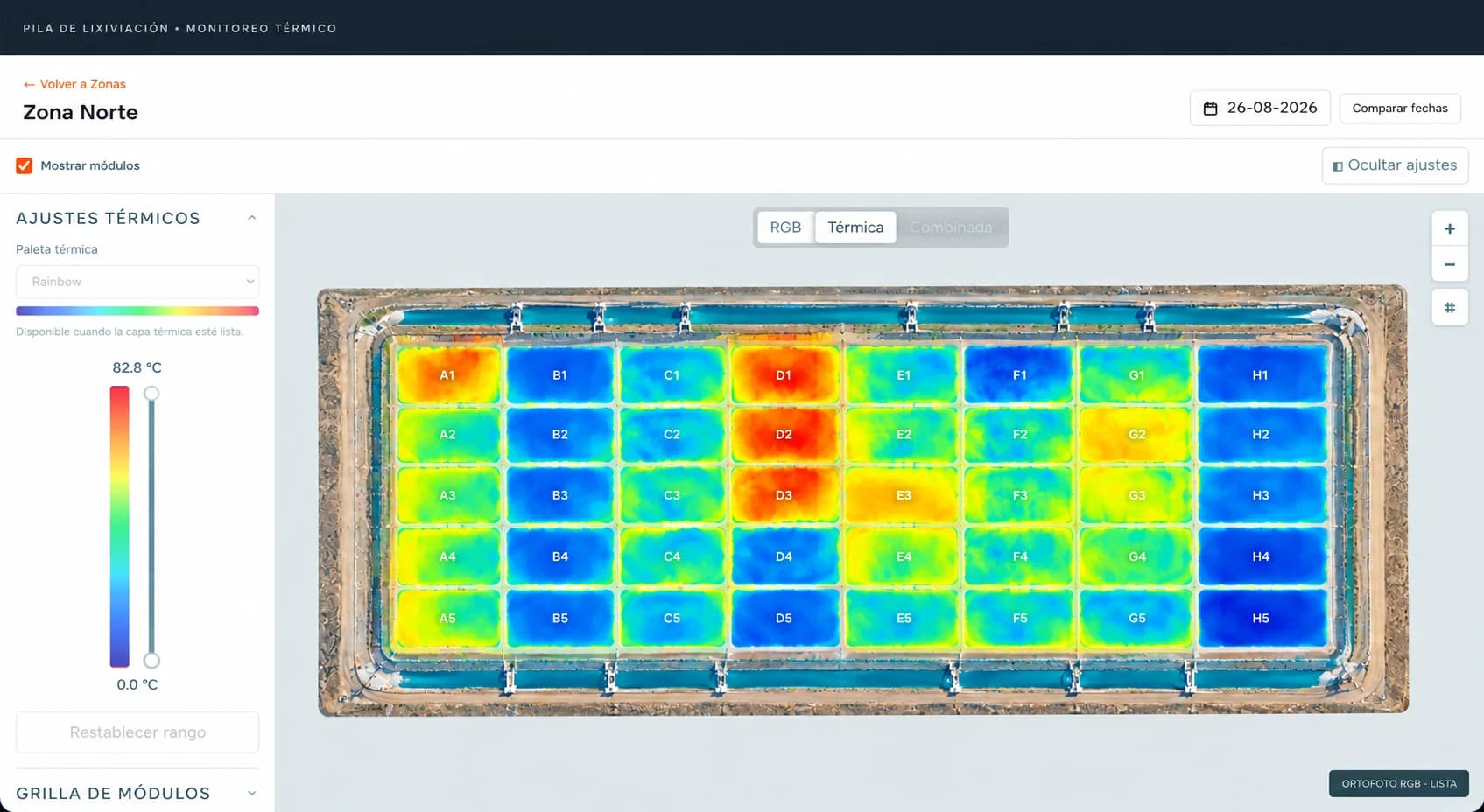
Monitor, analyse and optimise leach pad irrigation from a single platform.
View platform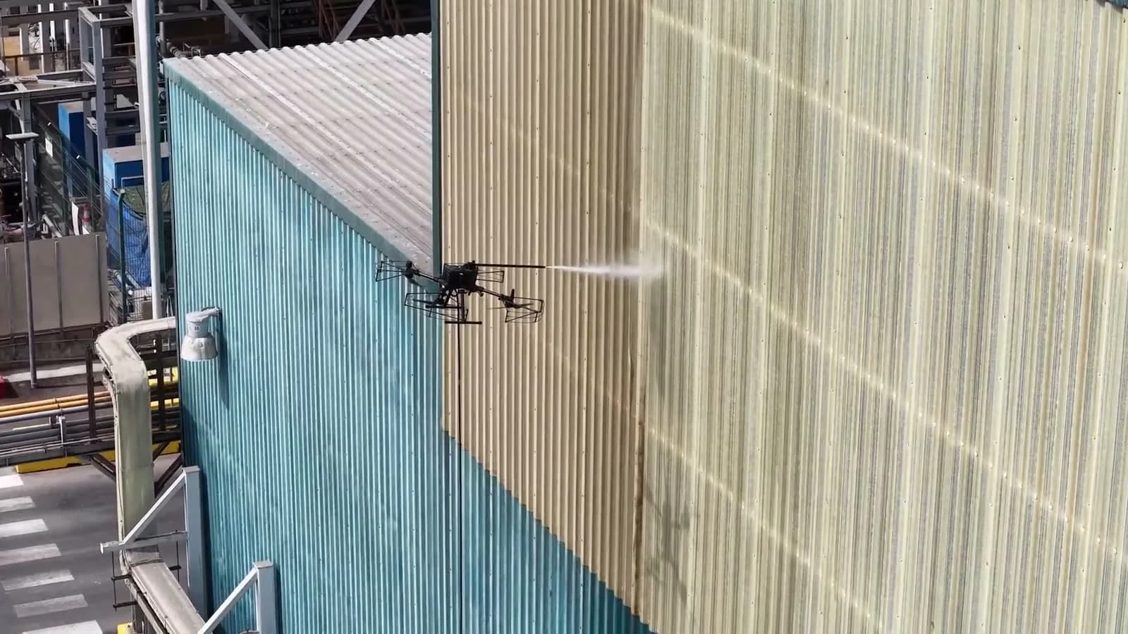
04Operation recorded on site
Real footage
Real footage of an operation on a live industrial structure. Nobody climbed, and the plant never stopped.
Nobody climbs. It removes both the fall risk for personnel and the permit logistics that come with it.
Work is done on live structures, with no scaffolding to erect and no extended production stoppages to coordinate.
It reaches surfaces that scaffolding and cranes cannot cover, including roofs and tall structures.
05About us
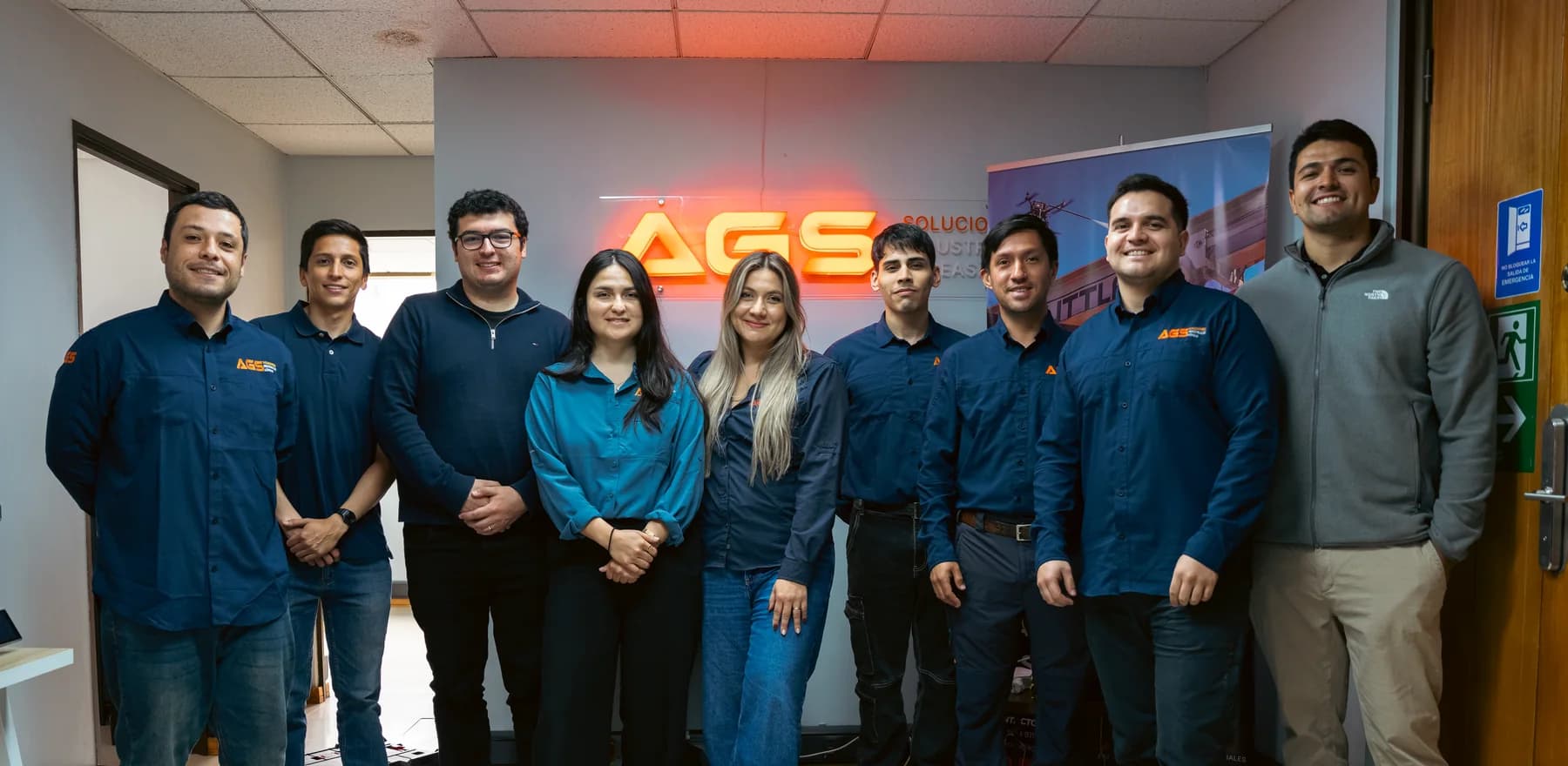
AGS Soluciones Industriales Aéreas is a company based in Antofagasta, specialising in aerial services and drone data intelligence for industries such as mining, energy and construction. Today we extend the service to Peru and Argentina, from our base in Antofagasta.
More than 9 years bringing technology solutions to the mining, energy and industrial sectors.
We combine aerial technology, artificial intelligence and our own software to solve real challenges.
We approach every project with technical rigour, attention to detail and a focus on dependable results.
06The proof
A row of logos earns trust at a glance. This is what sits behind it: plants, locations and surveyed areas.
01 / 07
Acciona
Atacama Desert
The largest photovoltaic plant in Latin America, supplying 240,000 homes.
Thermography at a photovoltaic plant
Acciona
Diego de Almagro, Atacama Region
Supplies 280,000 homes and cuts 512,000 tonnes of CO2 a year.
Thermography at a photovoltaic plant
Colbún
Diego de Almagro, Atacama Region
Second consecutive year working on this solar park.
Thermal inspection at a photovoltaic plant
Enel
María Elena, Antofagasta Region
Generates more than 400 GWh a year.
Thermography at a photovoltaic plant
Minera Guanaco
Taltal, Antofagasta Region
Gold and silver mining operator, 220 km southeast of Antofagasta.
Surveying and aerial photogrammetry
Antofagasta Minerals
Antofagasta
Exploration project with 520 hectares mapped.
Aerial photogrammetric survey
Guanaco Compañía Minera
Taltal, Antofagasta Region
Assessment of electrical infrastructure across 34 km² of coverage.
Power line inspection
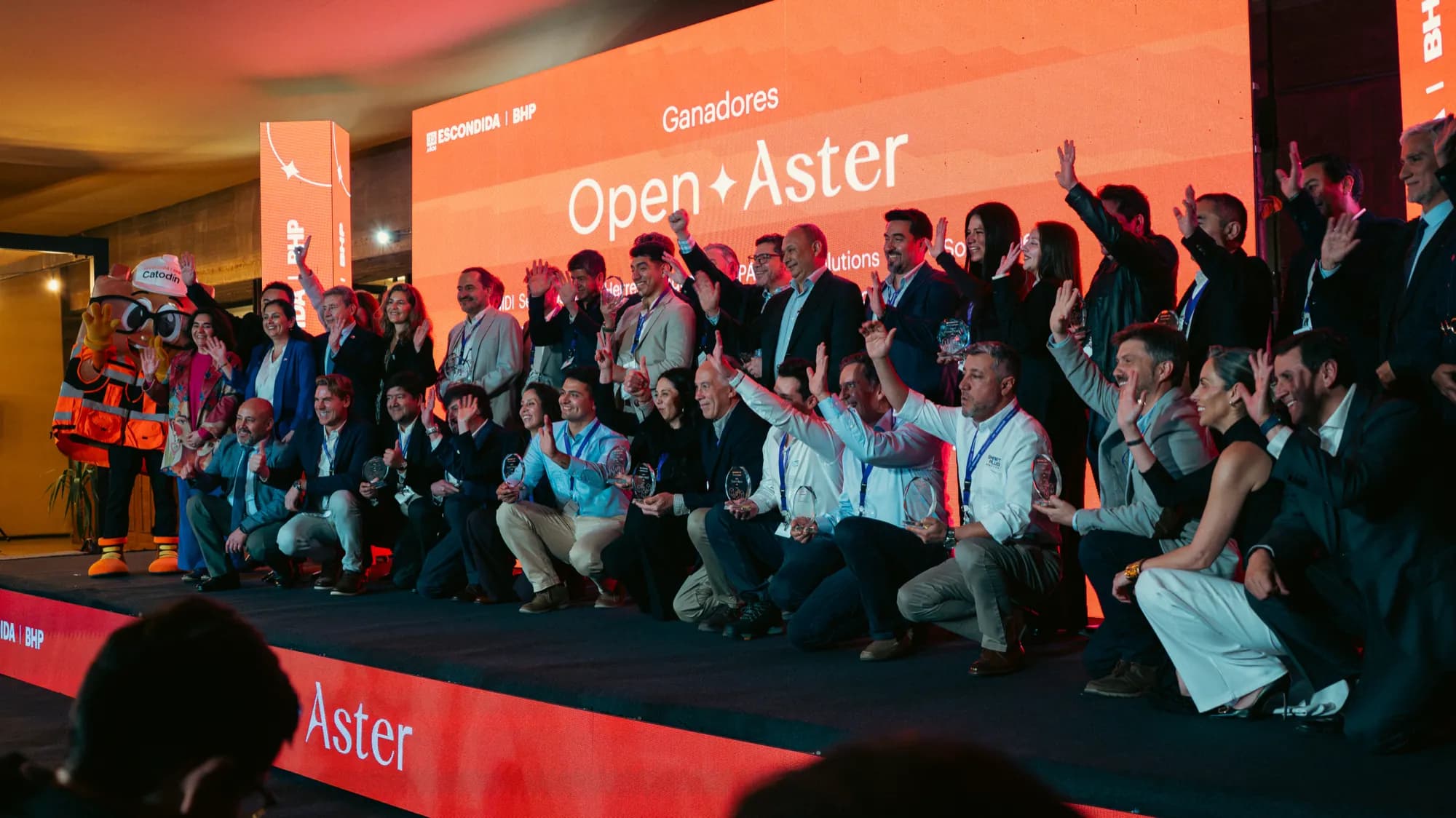
More than 600 applications from 6 countries and 25 companies selected. AGS is one of them, and will take its solutions into the field to prove their impact.
Read the article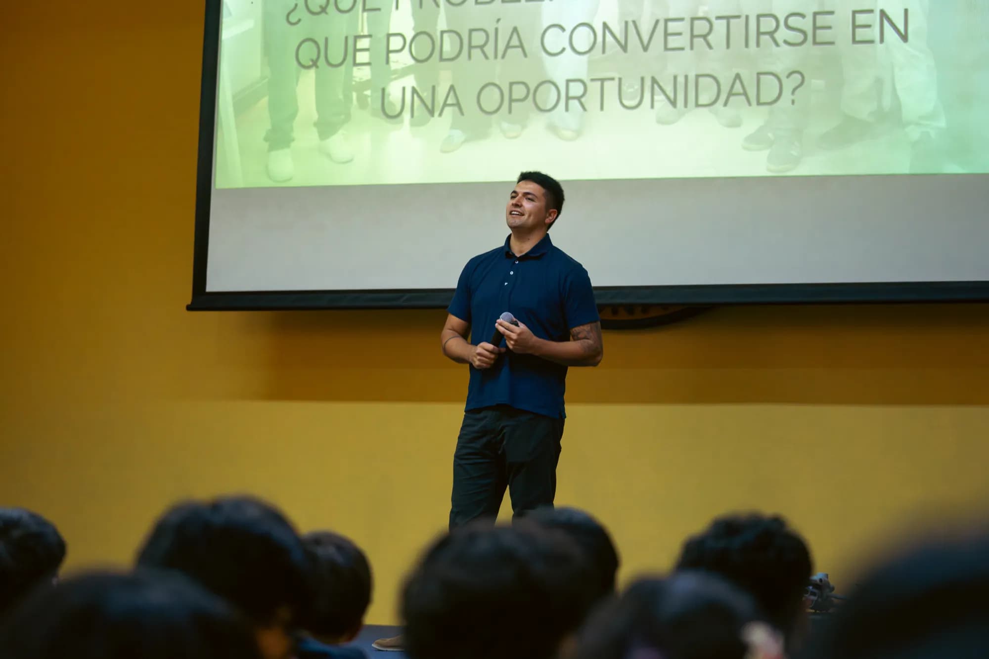
The AGS team in the classroom, showing how an industrial drone is flown and what it is used for in the region's mining and energy operations.
Read the article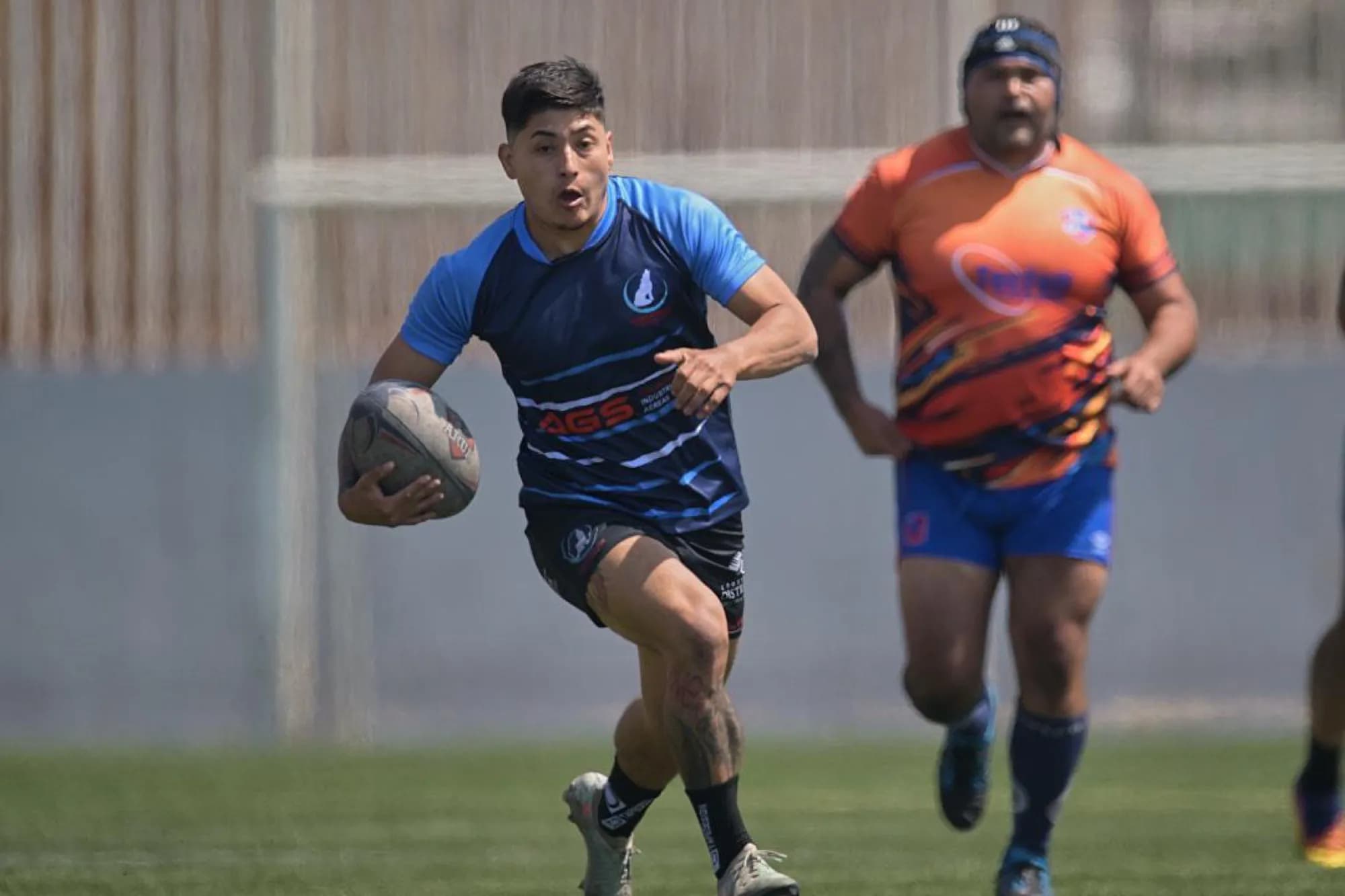
AGS sponsors the Coyotes Antofagasta rugby club. Amateur sport in the region runs on local support.
Read the articleWe review the case and send a technical and commercial proposal. If the operation calls for it, we arrange a site visit.