
SmartField
A geospatial platform for the intelligent management of inspections and findings in mining operations.
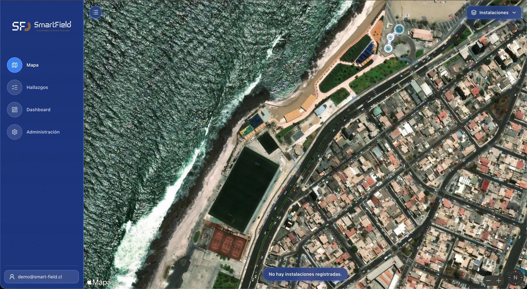
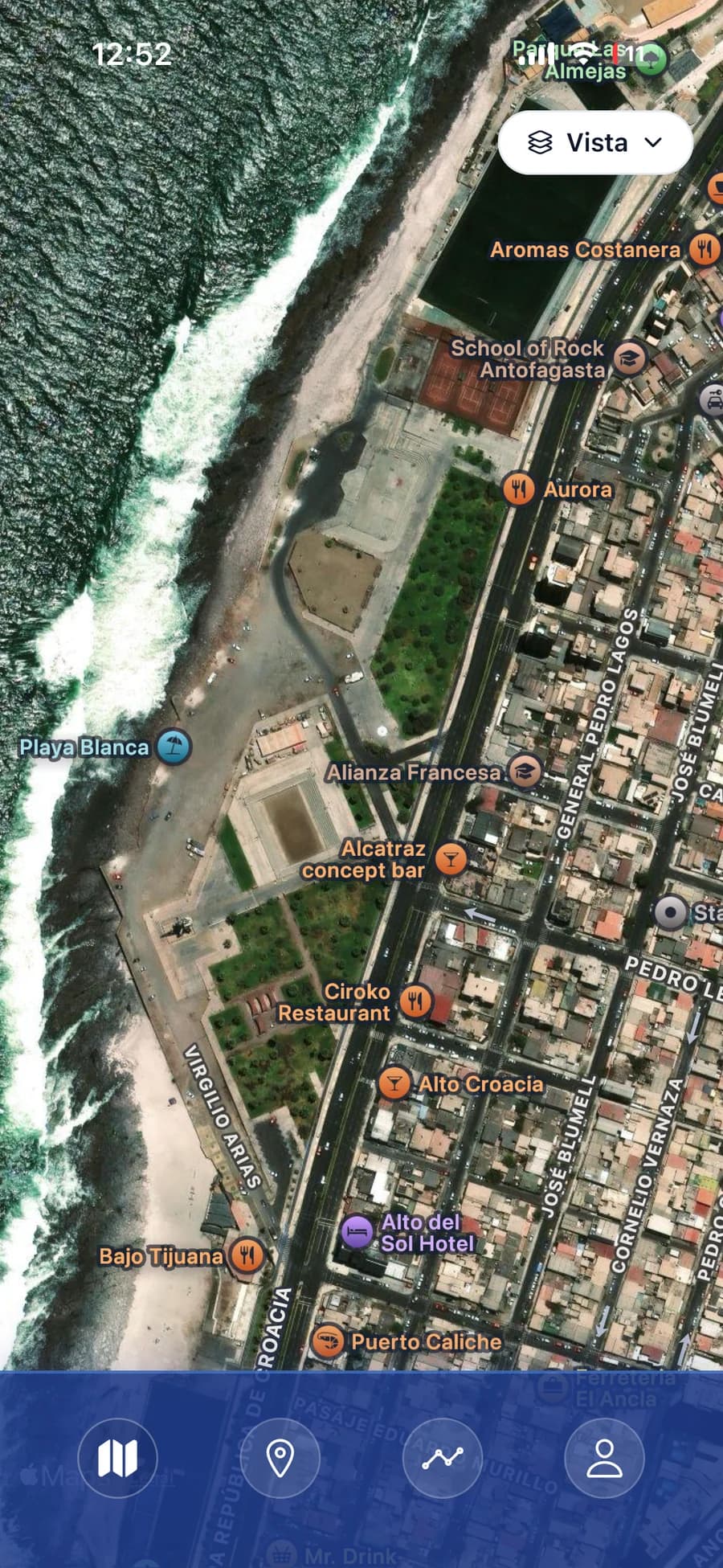
It brings together high-resolution orthophotos, territorial visualisation and the follow-up of observations in a single environment. Every finding is backed by its image, location, date, criticality and owner, and moves through geozones until it is closed.
- Map of findings over georeferenced orthophotos
- Assignment by geozone and follow-up through to closure
- Indicator panel and reports for owner and contractor
Tell us what needs inspecting
We review the case and send a technical and commercial proposal. If the operation calls for it, we arrange a site visit.
- +56 9 8199 2658Call directly
- WhatsAppOpens with the message already written
- servicios@agssoluciones.clAnswered during business hours
- Avenida José Miguel Carrera 1587, Oficina 406Antofagasta, Antofagasta Region, Chile