
SmartVisor
View and measure any drone-surveyed infrastructure, right in the browser.
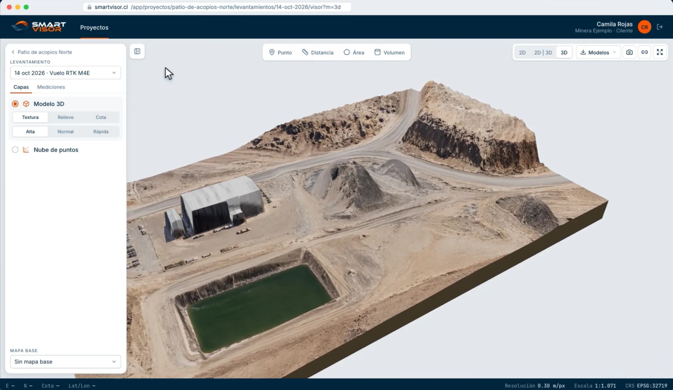
SmartVisor turns every drone flight into an orthophoto, a 3D model and a point cloud that the team opens and measures in the browser, with nothing to install. AGS flies, processes and publishes each survey; every flight is stored by date, every volume states its method and margin of error, and results download ready for AutoCAD, Civil 3D, QGIS, Google Earth or Excel.
- 2D viewer, 3D viewer and point cloud from the same flight
- Volumes, areas, distances and profiles with their margin of error
- History by date and downloads in DXF, KMZ, GeoJSON, CSV and PDF
Tell us what needs inspecting
We review the case and send a technical and commercial proposal. If the operation calls for it, we arrange a site visit.
- +56 9 8199 2658Call directly
- WhatsAppOpens with the message already written
- servicios@agssoluciones.clAnswered during business hours
- General Velásquez 890, Oficina 406Antofagasta, Antofagasta Region, Chile